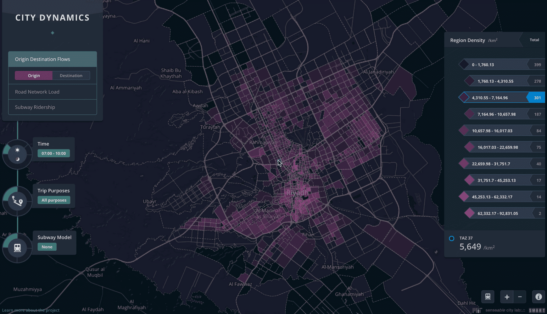
City Dynamics: Riyadh Metro
Published:
09/22/2014
The planning of a public transportation system, particularly a Metro system, is a complex task, which needs to incorporate many factors into consideration—geology, topography, population distribution, employment distribution, and the distributions of all other kinds of human activities. However, current Metro network design relies heavily on planners’ knowledge and experience of the factors above instead of realworld data. Thus, the network could both hardly be optimized when being planned, and it is difficult to validate the optimality/nonoptimality even after implementation. However, the new availability of the data of human movement—cellphone data in this research—could facilitate to solve the problem. The massive data of human activities could reveal the movement patterns of a city’s population in fine granularities both spatially and temporally, and even for different trip purposes.
This discussion is particularly salient in Riyadh, where the government is spending billions of dollars on a system including six lines and 85 stations, and due to open in 2019 (five years of construction). For comparison, the New York City subway is using 9 years of construction for the first phase of the Second Avenue line, with only six new stations and 13.7 kilometers of rail. The speed of implementation and breadth of the Riyadh network offers a ripe context for this type of investigation. We aimed to ignite the discussion of using social ‘big data’ to optimize the metro network planning, and start from only one, but critical, dimension of the metro network modeling—ridership forecast. This study, still underway, aimed to answer the following question: “Given metro lines, a set of possible locations of stations and a fixed number of stations on each line, how to select stations so the mostpeople would take the metro?”
Anthony Vanky is a co-investigator on the project, alongside Carlo Ratti (PI) at MIT.


