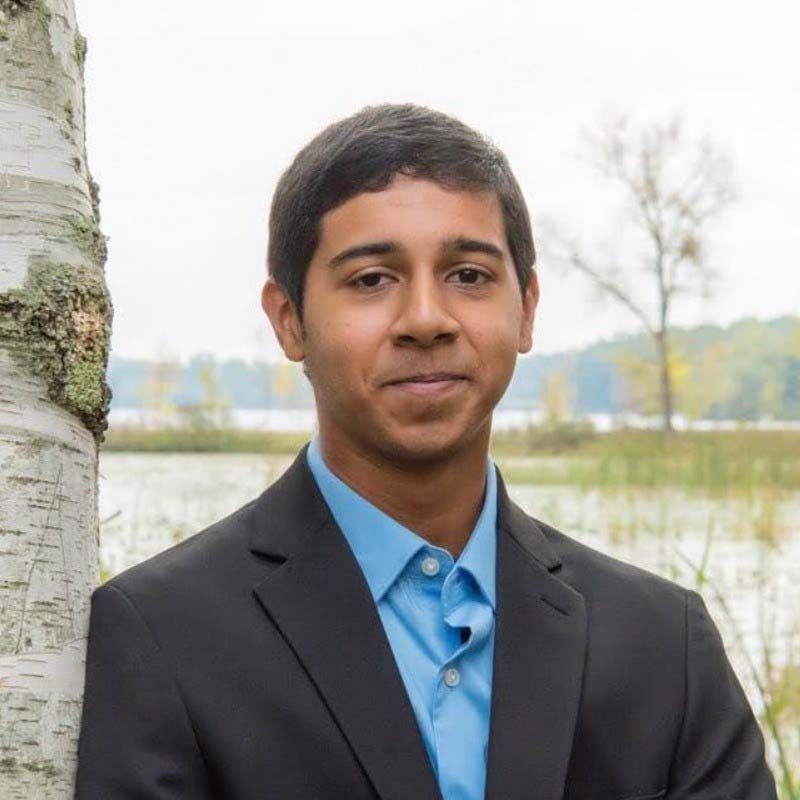
Neel Marathe

Bachelor of Science in Urban Technology
Neel Marathe, Urban Tech ’26, worked as a Geographic Information Systems intern with Michigan-based consulting firm Spalding DeDecker in summer 2025.
What motivated you to join the Urban Technology program?
Planning has always been something I wanted to do. From my origins in India and going over there regularly growing up, I’ve observed how different the built form can be from place to place. Growing up in suburban Michigan, I’ve wanted to explore opportunities to change some of how we live. The question of planning, I feel, is a question of how one lives, and that got me into planning from the start. For urban technology specifically, I wanted to go to Michigan, and it was the undergraduate program offered here.
What were some of your experiences as an intern with Spalding DeDecker?
The GIS services my firm provides are often to municipalities and smaller organizations, for instance, the Detroit Zoo. A lot of it is maintaining records in a spatial format, such as underground pipes for water, sanitary, or storm purposes, or electrical systems. It’s a way to catalog and visualize everything so it can be easy to update when out in the field. I’ve worked on managing data, inserting data, and collecting data in the field as well. Over the summer, I worked on a couple of report projects for different municipalities that are considering revising their parking ordinance to lower the minimum significantly.
What stood out to you about your internship?
The City of Flint contracted our firm to take an inventory of how many pieces of sidewalk were broken in the city. They had come into some grant money to fix them, but it wasn’t enough to cover the whole city, and we helped them decide which pieces on which city blocks get fixed. We had to collect an even number of sidewalks throughout its five wards and distribute our efforts as best as we could. The final decision may have been made by someone else, but our data impacted the outcome of the entire project. That showed me how every aspect of these processes should serve residents. Equity is an issue or an influence in all of them, and it should be considered at every stage.
How have you been able to use your urban technology education in these projects?
In the planning projects that I worked on, I’ve seen the community engagement that has had to be done to produce our reports. Because of my curriculum, I see an opportunity for more community engagement. Understanding the utility of it has shown me how it is lacking, even today, and not everyone’s voices are considered quite yet.
How has this internship helped you in your future career goals?
It solidified my interest in planning and has shown me the professional side of it. GIS is a technology skill that is applied everywhere in planning. Every one of the planning projects I worked on required some GIS skill to put together a simple map to effectively show something, and that’s something I want to continue to do. I want technology to be part of my career in whatever shape it takes. It’s a value add. The technological aspect, the programming skills I’ve learned, and the way I was taught to use them is a value add to me as a planner.
What would your ideal project be in this field?
You may have heard of the concept of a wicked problem, which is a problem that cannot be solved using the scientific method. It depends entirely on the circumstances of the problem, and one finds the solution to the problem by doing the research to fully understand it. Once you have fully understood it, you have a solution. It may not be one solution. It’s a problem that will never be replicated. It continually reinvents itself. There’s no good start and end point. But the wicked problem of planning is one in which the circumstances are different everywhere, and no one person can fully understand it without understanding who is served and who is on the receiving end of the decision.
— Interview by Joshua Nicholson


